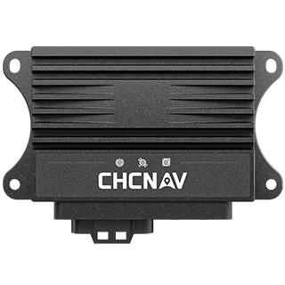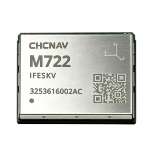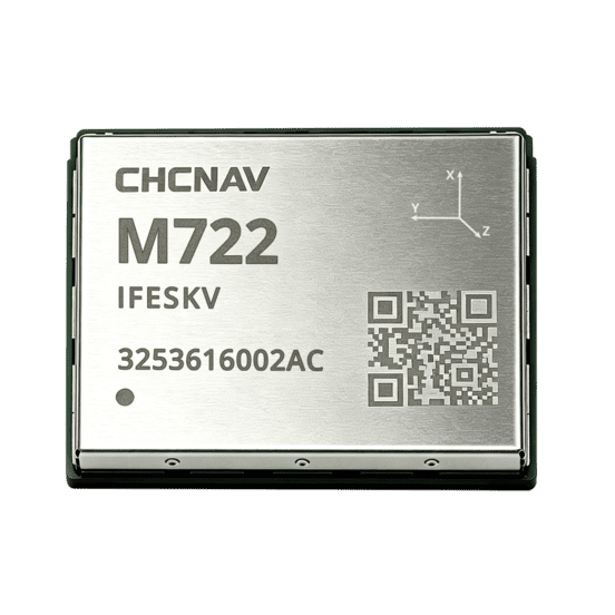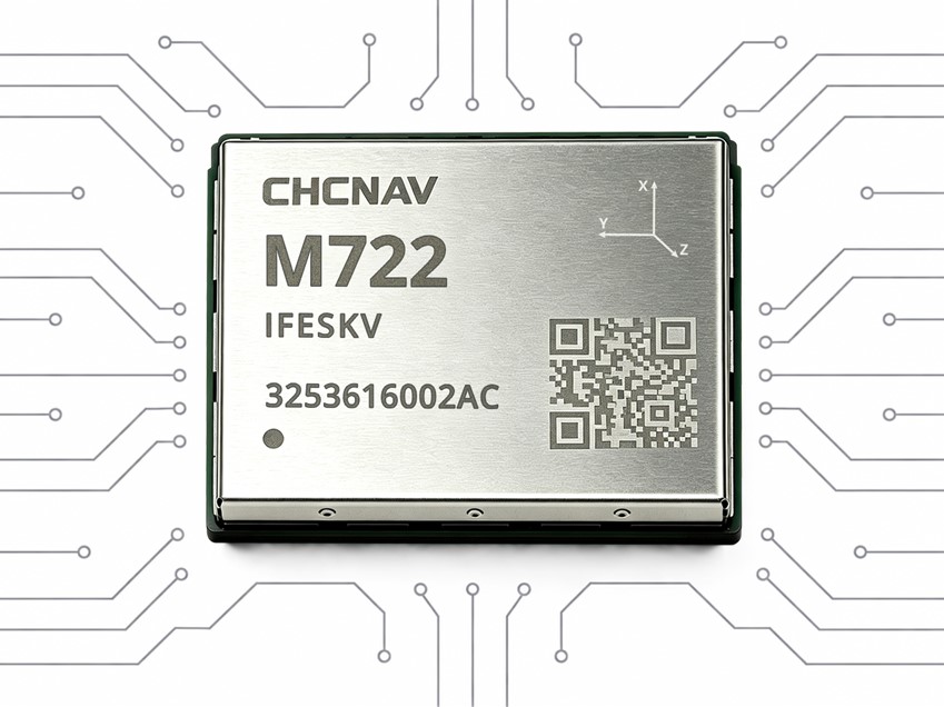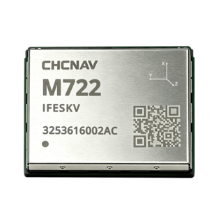

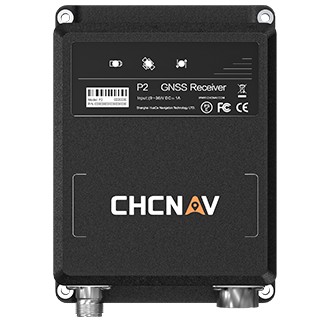
High-Precision GNSS Positioning and Heading Module
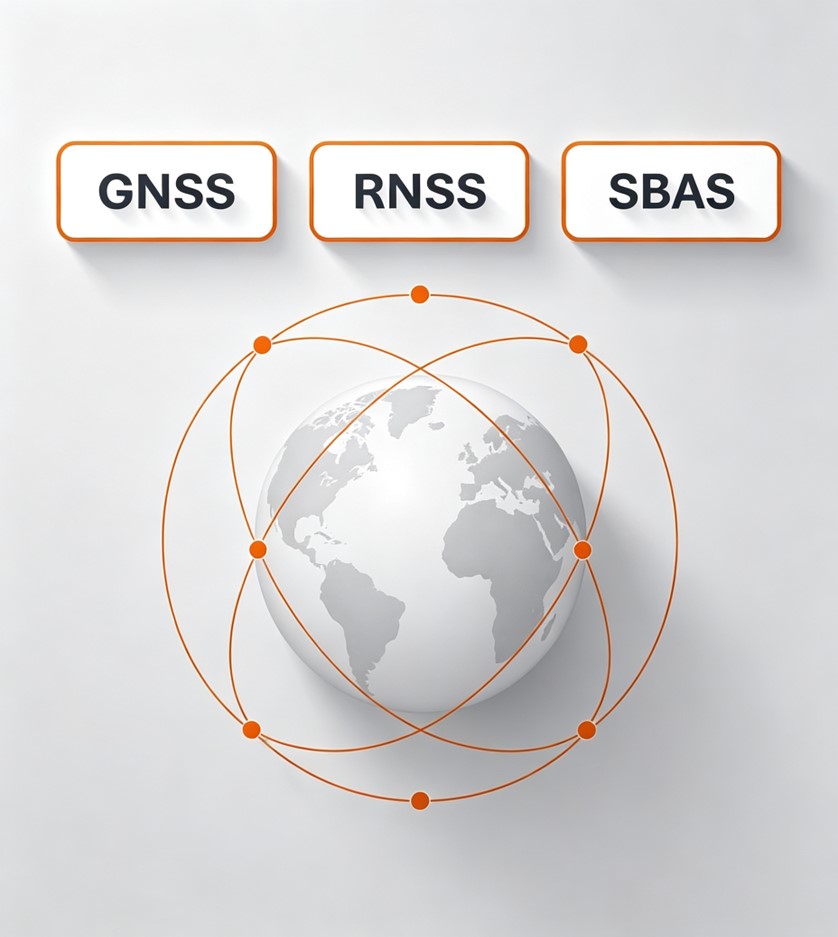
Tracks multi-frequency signals from major GNSS constellations for robust positioning.
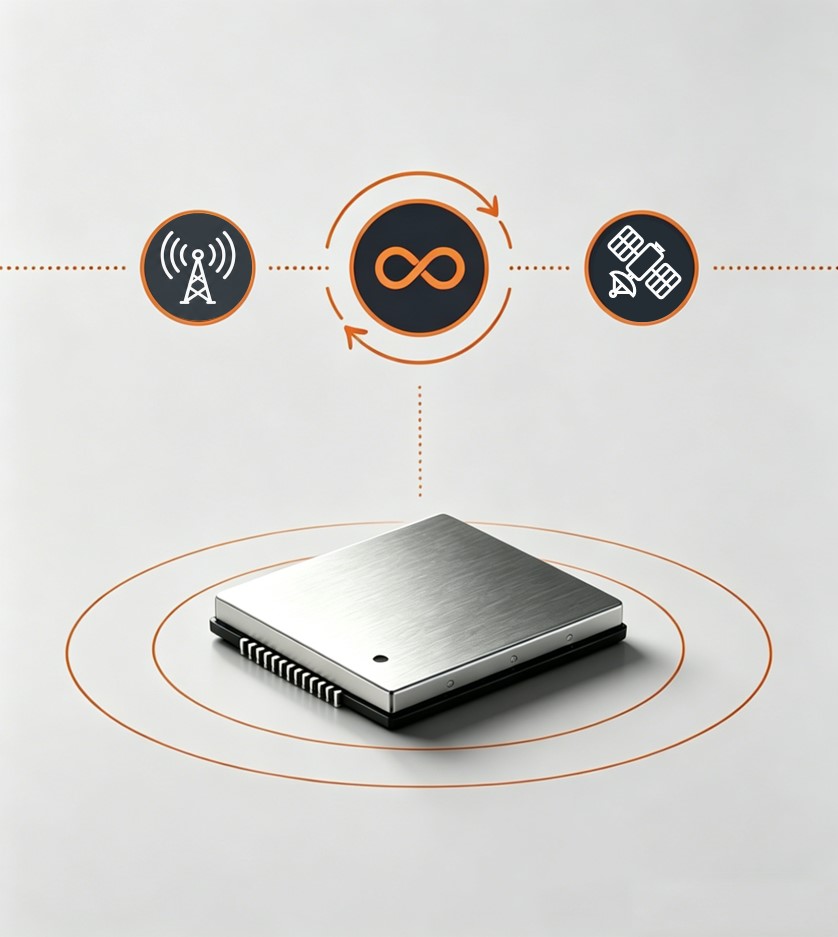
Combines correction services and receiver algorithms for resilient high-accuracy positioning.
Dual-antenna GNSS delivers 0.1° heading accuracy at a 1 m antenna baseline.
Supports PointSky, PPP-B2b, Galileo HAS and QZSS correction services.
Tracks multi-frequency signals from BDS, GPS, GLONASS, Galileo, QZSS, NavIC and SBAS to maximize satellite availability. Broad constellation and frequency support improves positioning robustness and helps maintain reliable performance across varied environments and applications.
C² Fusion combines CHCNAV correction services with receiver-side positioning algorithms to optimize high-accuracy GNSS performance. It helps maintain positioning stability under signal obstruction, electromagnetic interference and active ionospheric conditions.
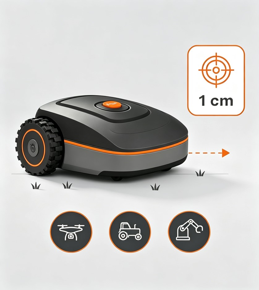
M722 uses dual-antenna GNSS to deliver 0.1° heading accuracy at a 1 m antenna baseline. Combined with centimeter-level real-time positioning, it provides precise and stable orientation for UAVs, agricultural machinery and robotic platforms that require accurate trajectory and directional control.
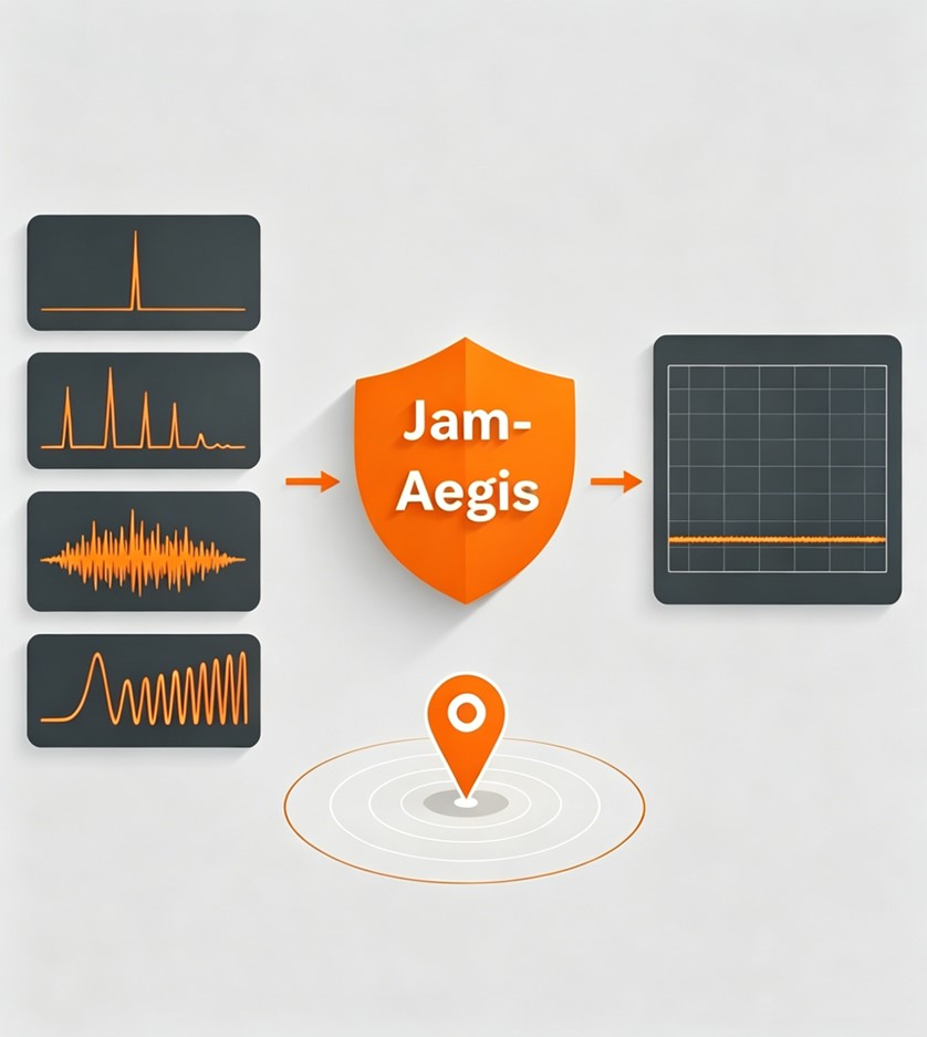
JamAegis detects, evaluates and suppresses multiple types of GNSS interference, including single-tone, multi-tone, narrowband and swept-frequency signals. Combined with real-time spectrum monitoring, it helps maintain stable high-precision positioning in challenging electromagnetic environments.
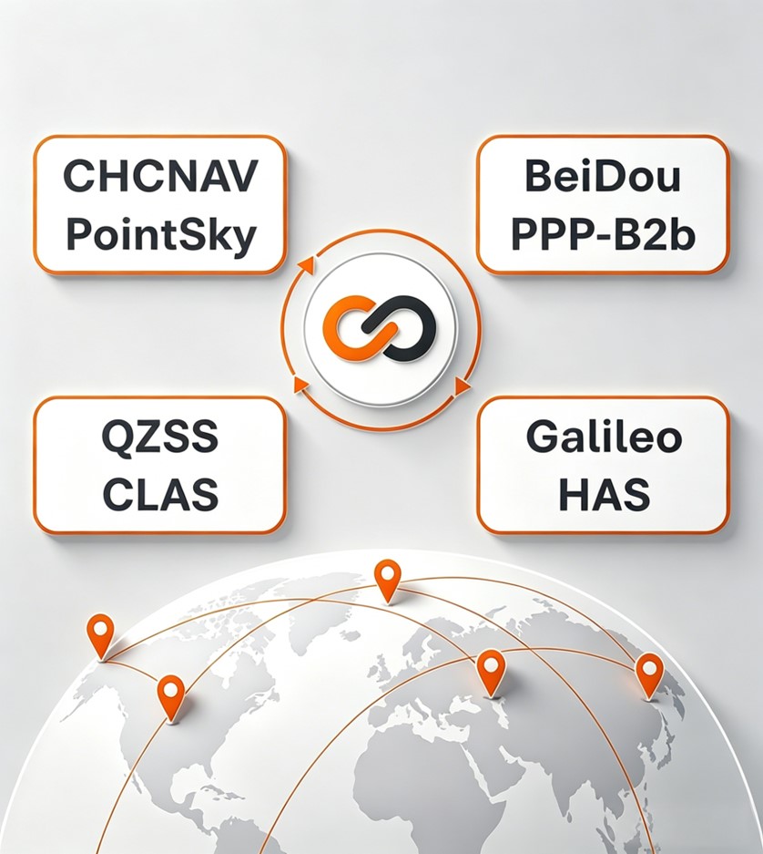
PointFusion supports CHCNAV PointSky, BeiDou PPP-B2b, Galileo HAS and QZSS CLAS, giving M722 access to multiple satellite-based high-accuracy correction sources. This extends centimeter-level positioning beyond cellular coverage and provides flexibility across regions and environments.
Robotic Lawn Mowers
Precision Agriculture
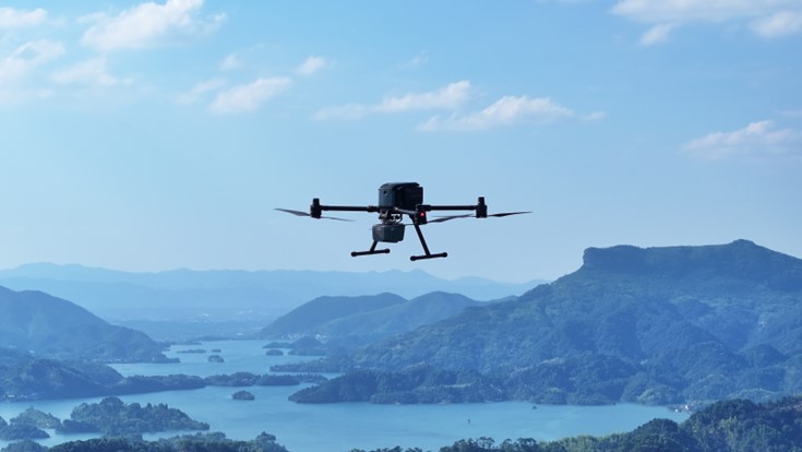
UAVs
Humanoid robots
High-Precision GNSS Positioning and Heading Module
SEEKING FOR PERFECT SOLUTION TO FIT YOUR NEEDS?
Contact CHC Navigation to create a customized precision solution tailored to meet the specific needs of your business.
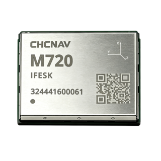
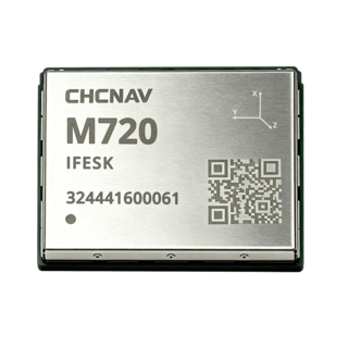
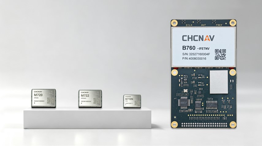
CHCNAV M720
High-Precision GNSS Positioning Module
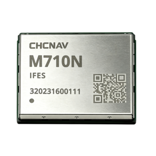
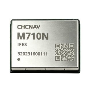
CHCNAV M710N
Ultra-Compact High-Precision GNSS Positioning Module
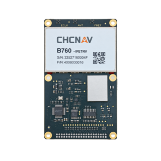
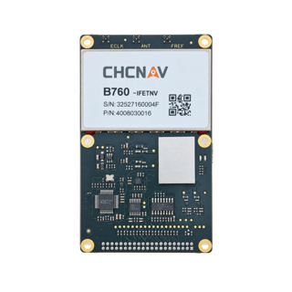
CHCNAV B760
High-Precision GNSS Positioning Board
More