
26 Jun 2026
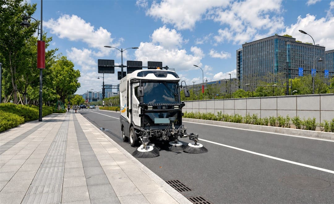
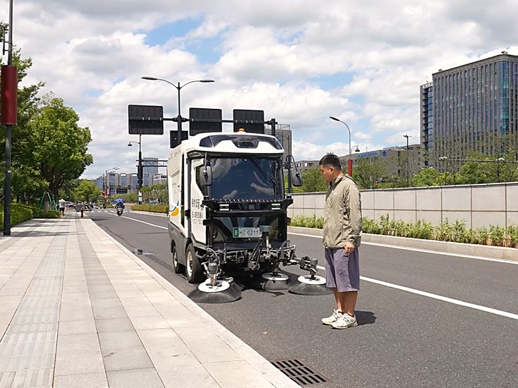
In a riverside park in Shanghai's Huangpu District, an autonomous sweeping robot travels along pedestrian paths, collecting fallen leaves, grit and dust while easing around pedestrians, parked vehicles and trees. Such autonomous cleaning machines have become a common sight, and the core enabler of driverless operation is high-precision positioning. Reliable, available positioning is the core foundation for unmanned operation, and its quality bears directly on both cleaning performance and road safety. To raise that bar, CHCNAV worked with Kusa Technology, a developer of autonomous service robots, deploying CGI-230 receivers together with the PointX positioning augmentation service as the standard navigation foundation across the sweeping fleet.
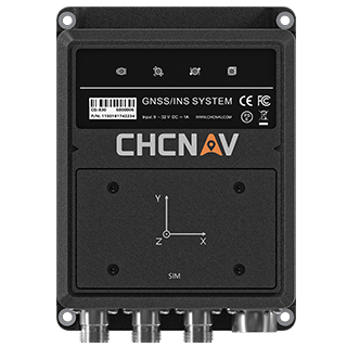
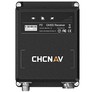
City environments are unforgiving for satellite positioning. In parks and campuses the lanes are narrow, junctions are frequent, and tree canopy occlusion and building multipath reflection are common, all of which test a robot navigation system. CHCNAV answers this with an integrated hardware terminal and cloud augmentation service. The CGI-230 GNSS/INS system carries an embedded Point SDK, so every unit is bound to a permanent PointX correction account backed by the CTCLIB high-precision engine and a network of more than 10,000 reference stations. That pairing improves the RTK fix rate and positioning accuracy under signal obstruction, interference and ionospheric disturbance. Even under dense tree cover or in narrow alleys where satellite reception is poor, the robot maintains a centimetre-level positioning track and can sweep tight against the kerb, which is where most of the cleaning value sits.
A sweeping route is full of moving variables: pedestrians, stopped vehicles, junctions to cross, reversing manoeuvres and automatic charging runs. Handling them safely depends on a steady stream of position, velocity and attitude data, because that is what the drive system uses to judge relative position and decide when to slow, stop or steer around an obstacle. The CGI-230 works in close coordination with the Kusa intelligent cloud control platform, feeding its navigation output alongside LiDAR and visual AI sensors into a single perception and control loop. Before a shift, that data helps the platform plan a full-coverage route around live traffic and pedestrian flow. During the shift, the CGI-230 supplies continuous centimetre-level position and attitude so the robot can carry out dynamic avoidance and emergency stops in busy, crowded surroundings.
As autonomous sweepers move from pilots to citywide fleets, the work of deploying and maintaining hundreds of units becomes its own problem. The CGI-230 is built for that scale. Configuration and over-the-air upgrades can be pushed to a whole fleet through command injection, which keeps the cost of multi-site operations down. Automotive-grade communication, Ethernet over 100Base-T1 alongside CAN and serial interfaces, lets the unit integrate cleanly with a range of in-vehicle systems, and UDS diagnostics, fault messaging and logging let technicians locate and clear faults quickly. On the strength of that engineering, CHCNAV positioning now runs in autonomous sweeping robots in nearly 30 cities, including Beijing, Shanghai and locations across Guangdong and Zhejiang.
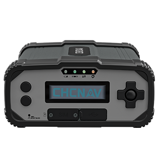
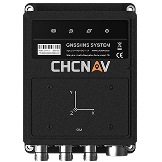
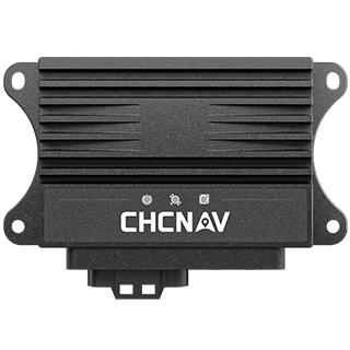
The sweeping-robot programme is one application of the CGI-230 automotive-grade GNSS/INS system, a tightly coupled GNSS/INS integrated navigation system that delivers 1 cm horizontal positioning and 0.1 degree heading and maintains valid navigation output during short GNSS signal outages. It sits within the CHCNAV navigation and positioning solutions for autonomous machines, alongside the wider GNSS/INS lineup such as the dual-antenna CGI-610. The same high-precision GNSS/INS approach is already at work in autonomous mining, low-speed logistics and robotaxi fleets. For teams building autonomous vehicles and robots, accurate and dependable positioning is the groundwork everything else is built on, and it is the part CHCNAV is set up to provide. For a closer look at positioning under demanding conditions, see how CHCNAV supports GNSS and autonomous driving.
CHC Navigation (CHCNAV) develops advanced mapping, navigation, and positioning solutions designed to increase productivity and efficiency. Serving industries such as geospatial, agriculture, machine control and autonomy, CHCNAV delivers innovative technologies that empower professionals and drive industry advancement. With a global presence spanning over 140 countries and a team of more than 2,200 professionals, CHC Navigation is recognized as a leader in the geospatial industry and beyond. For more information about CHC Navigation [Huace:300627.SZ], please visit: https://navigation.chcnav.com/about/overview
Have a question about our solutions or dealership opportunities?