
31 Jul 2026
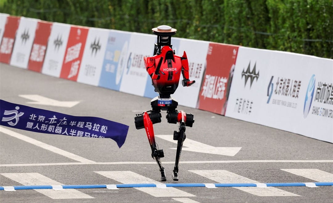
When a person walks across a room, they rarely stop to think about how much the body is leaning, exactly where a foot lands, or how far the destination still is. A humanoid robot has to answer all of those questions continuously, and it has to answer them in real coordinates. When a robot needs to walk continuously, turn, grasp and interact in a dynamic and uncertain environment, it needs more than a rough idea of where it is. It requires a continuous, reliable, low-latency coordinate anchor. This is precisely what CHC Navigation's GNSS modules and PointX correction services are designed to deliver.
The Global Navigation Satellite System (GNSS) is the satellite positioning technology behind most modern navigation. A GNSS module receives signals from multiple satellite constellations and calculates the robot's position on Earth, reporting latitude and longitude, altitude, precise time and direction of travel. This is the layer that ties a robot's internal model of the world to real geographic coordinates.
GNSS modules are the core of what CHC Navigation builds, and they are the reason a humanoid robot can operate beyond a controlled laboratory. Picture an inspection robot working across a large industrial site, a warehouse or an outdoor facility. To follow a route and reach the correct inspection point, it needs to know where that point is, where it currently stands and which way to travel. GNSS supplies that global reference. As humanoid robots move into manufacturing, logistics, outdoor inspection, smart cities and public service roles, dependable satellite positioning becomes the groundwork everything else is built on.
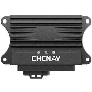
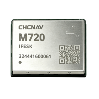
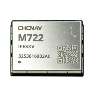
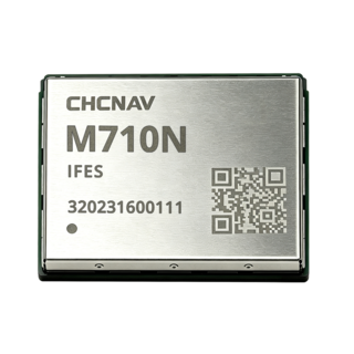
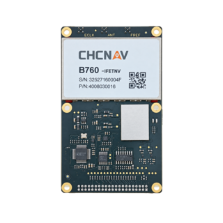
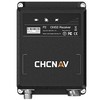
At CHC Navigation, we deliver this foundational layer through our GNSS module portfolio. Scheduled for global release in 2026, the M722 GNSS Module is designed to provide the absolute positioning anchor required by next-generation humanoid robots:
The value of the M722 lies not just in knowing where it is, but in continuously, and without accumulated drift, telling the robot that it is still here.
A common question is why robots need more than the GPS already in a smartphone. The answer is accuracy. Standard GNSS typically delivers meter-level positioning, which is fine for turn-by-turn vehicle navigation but far too coarse for a robot trying to grasp a tool or press a control. An error of two to five metres makes precise manipulation impossible.
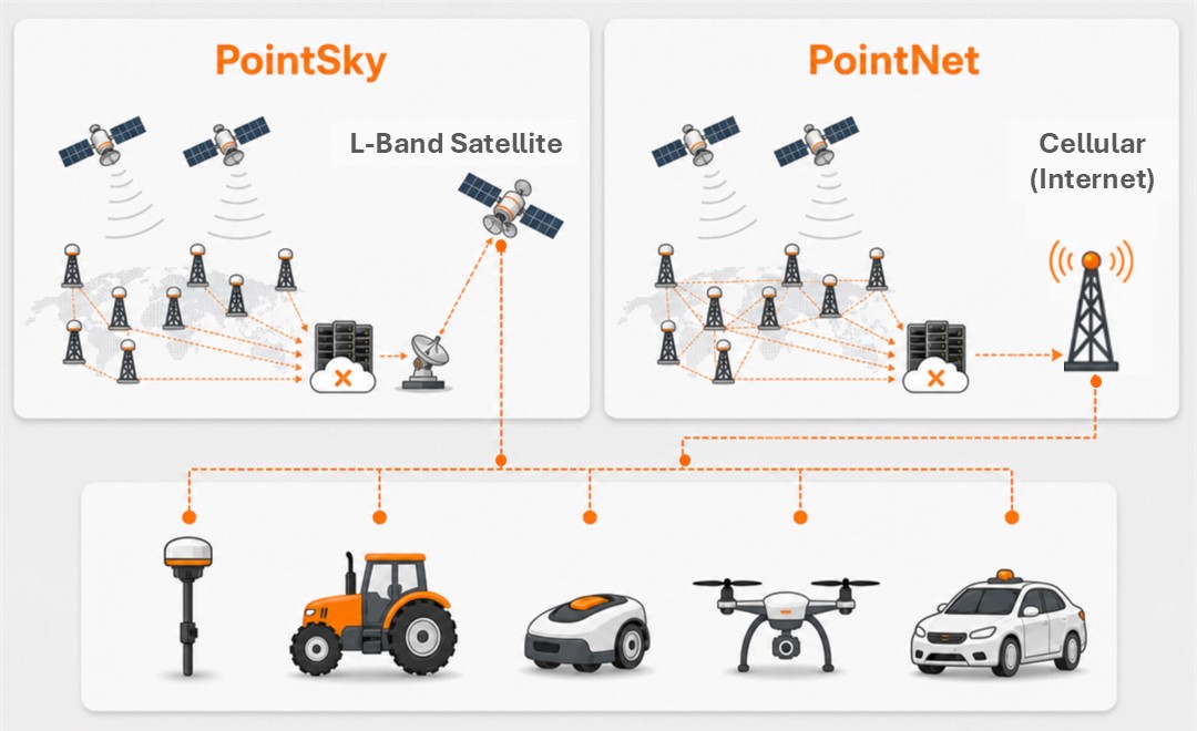
Real-Time Kinematic (RTK) positioning closes that gap. Satellite signals pick up errors from atmospheric delay, orbit and clock inaccuracies and multipath reflection. RTK uses a reference station at a precisely surveyed location to measure those errors and broadcast correction data to nearby receivers, sharpening accuracy from metres to centimetres. CHC Navigation delivers these corrections through PointX, our GNSS correction services portfolio. PointNet supplies network RTK over the internet, backed by a network of more than 10,000 reference stations for centimetre accuracy and near-instant convergence, while PointSky provides L-Band satellite correction for network-limited and remote environments where a mobile connection cannot be relied on. Together they turn a rough "somewhere around here" into a confident "right here, within a few centimetres."
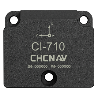
If GNSS tells a robot where it is, the Inertial Measurement Unit (IMU) tells it what its body is doing. Scheduled for global release in 2026, the CHCNAV CI-300 is a high-precision IMU that combines a three-axis accelerometer and a three-axis gyroscope to measure linear acceleration, angular velocity, orientation change and the direction of gravity. From that data a robot knows whether it is leaning, turning, accelerating or has taken an unexpected knock.
That awareness is what keeps a bipedal robot upright. People balance using the vestibular system in the inner ear together with vision and muscle feedback; a humanoid robot achieves something similar through its IMU. When the robot steps forward and its centre of gravity shifts, the IMU detects the tilt and the control system adjusts hip angles, leg support and posture within milliseconds. In effect the IMU is the robot's inner ear, running at a high update rate so the machine stays stable through every step of the walking cycle.
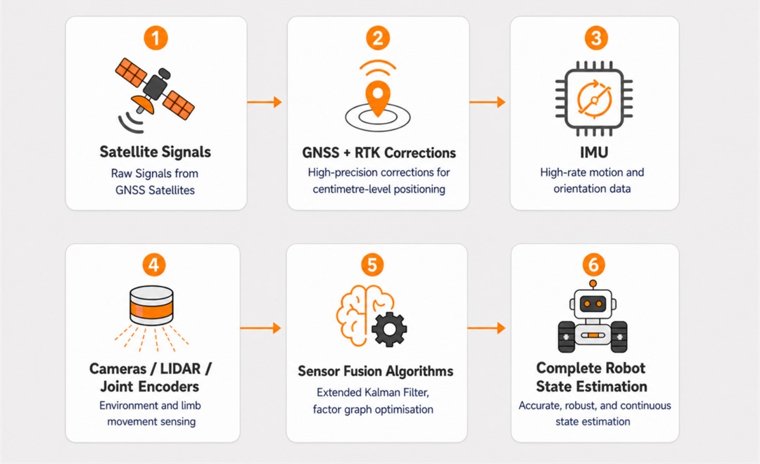
In a working robot these layers do not run in isolation. GNSS supplies the global position, RTK corrections refine it to the centimetre level, and the IMU adds high-rate motion and orientation data, while cameras, LiDAR and joint encoders read the surrounding environment and the movement of each limb. Sensor fusion algorithms such as the Extended Kalman Filter and factor graph optimisation combine all of it into a single, continuous estimate of the robot's position, velocity, orientation and relationship to its surroundings. The result is spatial intelligence: the robot can plan a route, avoid obstacles, reach a destination and handle objects with the confidence that comes from knowing exactly where it is.
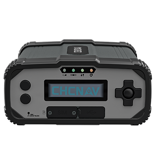
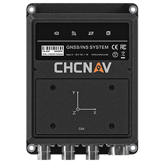
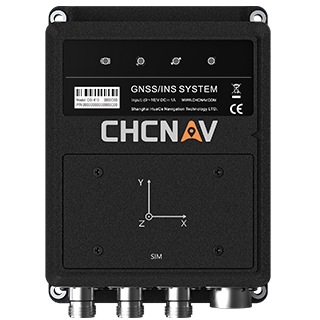
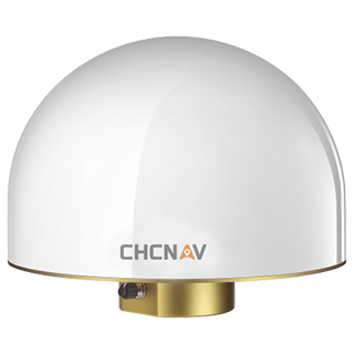
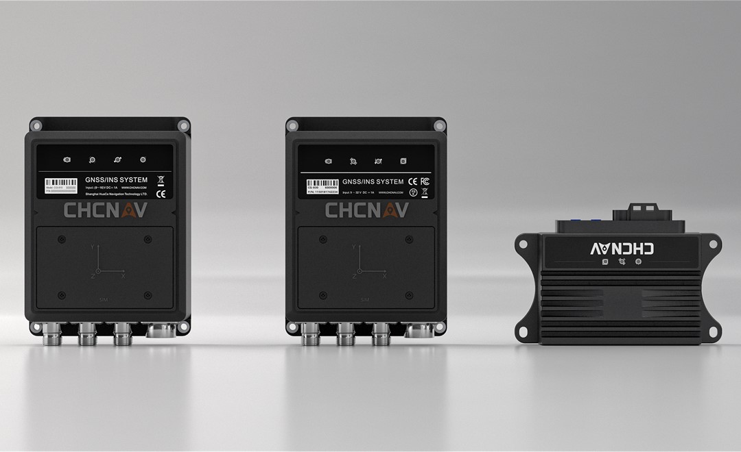
GNSS is the foundation of that stack, and it is where CHC Navigation focuses. Our GNSS/INS systems pair high-precision GNSS with an integrated inertial sensor in a single, tightly coupled unit. The CGI-230 automotive-grade GNSS/INS system delivers centimetre positioning and maintains valid navigation output during short GNSS signal outages, and the dual-antenna CGI-610 adds accurate heading for platforms that need it. These sit within our navigation and positioning solutions for autonomous machines, the same approach already at work in autonomous driving and low-speed logistics fleets. For teams building the next generation of humanoid robots, dependable positioning is what connects a powerful AI model to the physical world, and it is the part CHC Navigation is built to provide.
CHC Navigation (CHCNAV) develops advanced mapping, navigation, and positioning solutions designed to increase productivity and efficiency. Serving industries such as geospatial, agriculture, machine control and autonomy, CHCNAV delivers innovative technologies that empower professionals and drive industry advancement. With a global presence spanning over 140 countries and a team of more than 2,200 professionals, CHC Navigation is recognized as a leader in the geospatial industry and beyond. For more information about CHC Navigation [Huace:300627.SZ], please visit: https://navigation.chcnav.com/about/overview
Have a question about our navigation and positioning solutions?