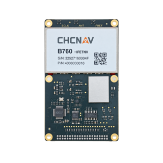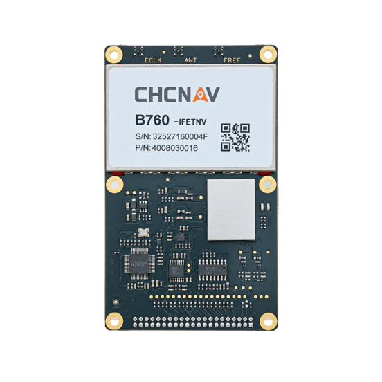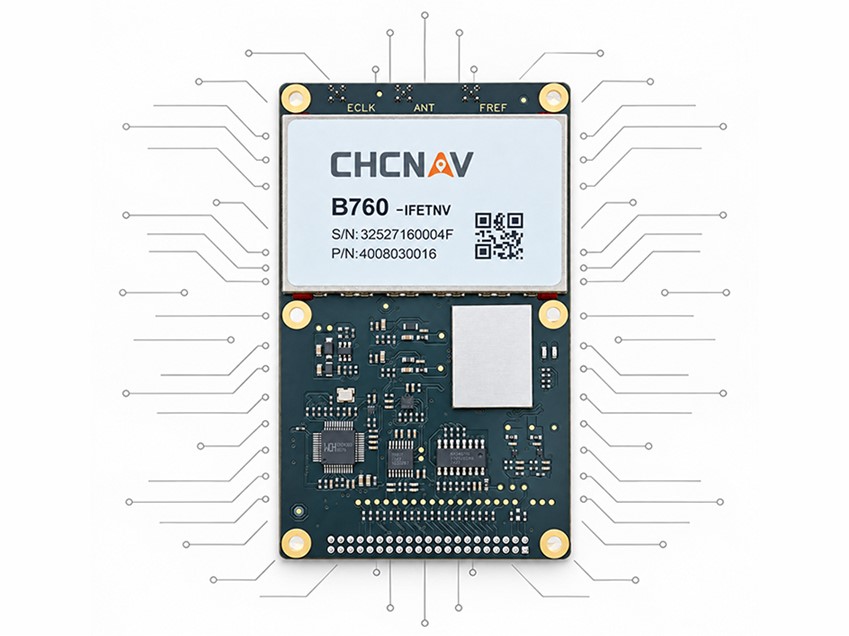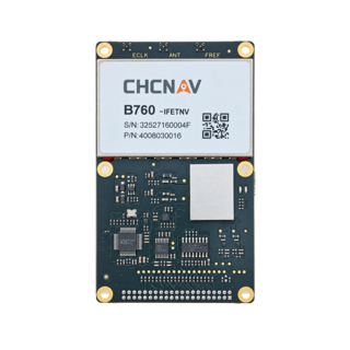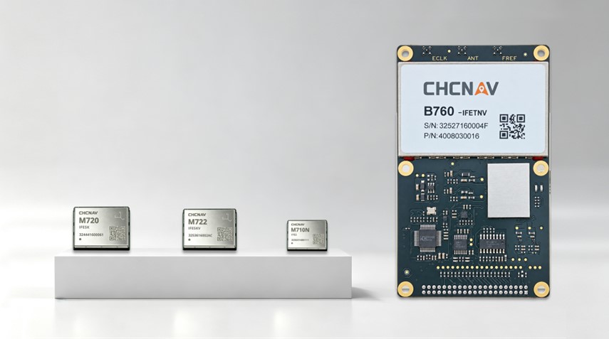

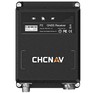
High-Precision GNSS Positioning Board
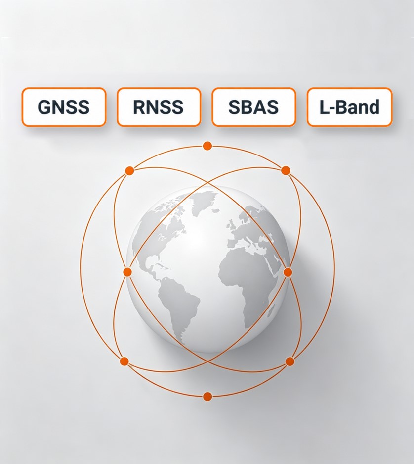
Tracks multi-frequency signals from major GNSS constellations for robust positioning.
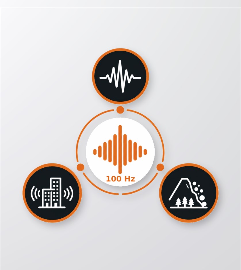
Outputs carrier-phase and pseudorange observations at rates up to 100 Hz.
Detects, evaluates and suppresses multiple types of GNSS interference.
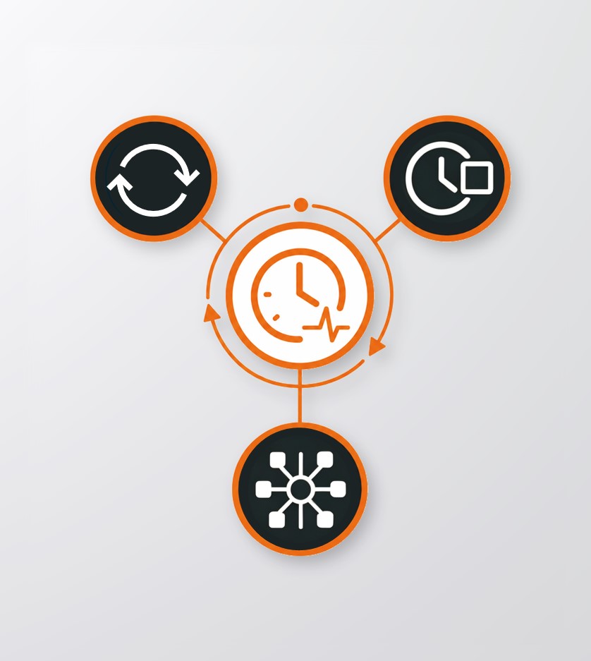
Provides high-precision timing with external clock input and output interfaces.
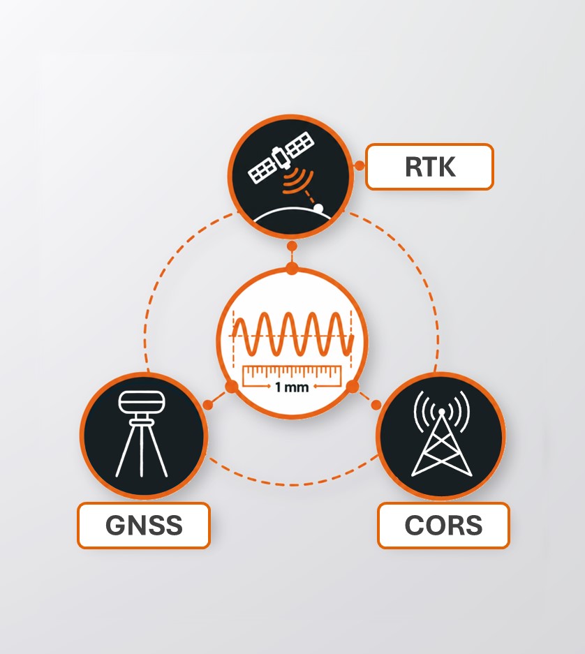
Advanced multipath mitigation and low-elevation tracking help preserve carrier-phase measurement quality in challenging signal environments. The B760 provides millimeter-level carrier-phase observations for RTK, CORS, deformation monitoring and scientific GNSS applications.
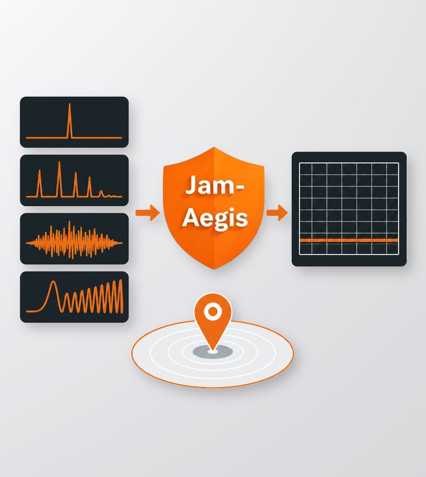
JamAegis detects, evaluates and suppresses interference including single-tone, multi-tone, narrowband and swept-frequency signals. Its in-band and out-of-band protection helps maintain reliable GNSS tracking and high-precision positioning in challenging electromagnetic environments.
The B760 tracks multi-frequency signals from BDS, GPS, GLONASS, Galileo, QZSS, NavIC and SBAS, with L-Band support. Broad signal availability improves positioning robustness, supports high-precision applications and provides flexibility for evolving GNSS services and regional requirements.
The integrated timing engine provides synchronization better than 3 ns and supports external clock input and output interfaces. The B760 can distribute precise time and frequency signals or use a higher-grade external reference, with primary and backup switching for resilient timing systems.
The B760 outputs carrier-phase and pseudorange observations at rates up to 100 Hz, enabling high-temporal-resolution GNSS analysis. Fast raw data supports dynamic monitoring applications such as seismic observation, structural health monitoring and landslide or deformation analysis.
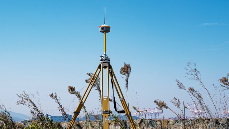
Static GNSS Surveying
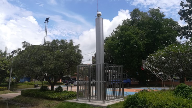
Monitoring Stations
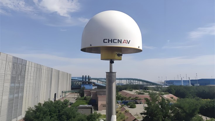
CORS Reference Stations
High-Precision GNSS Positioning Board
SEEKING FOR PERFECT SOLUTION TO FIT YOUR NEEDS?
Contact CHC Navigation to create a customized precision solution tailored to meet the specific needs of your business.
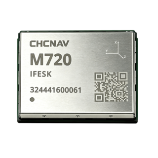
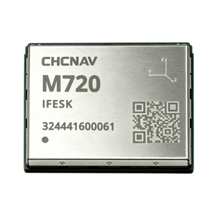
CHCNAV M720
High-Precision GNSS Positioning Module
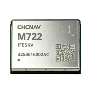
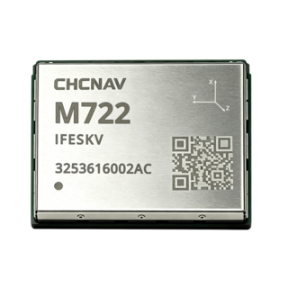
CHCNAV M722
High-Precision GNSS Positioning and Heading Module
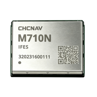
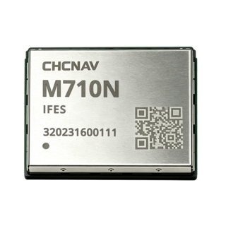
CHCNAV M710N
Ultra-Compact High-Precision GNSS Positioning Module
More