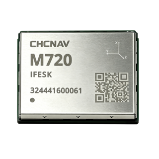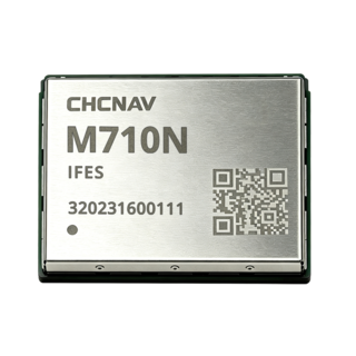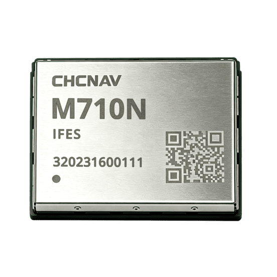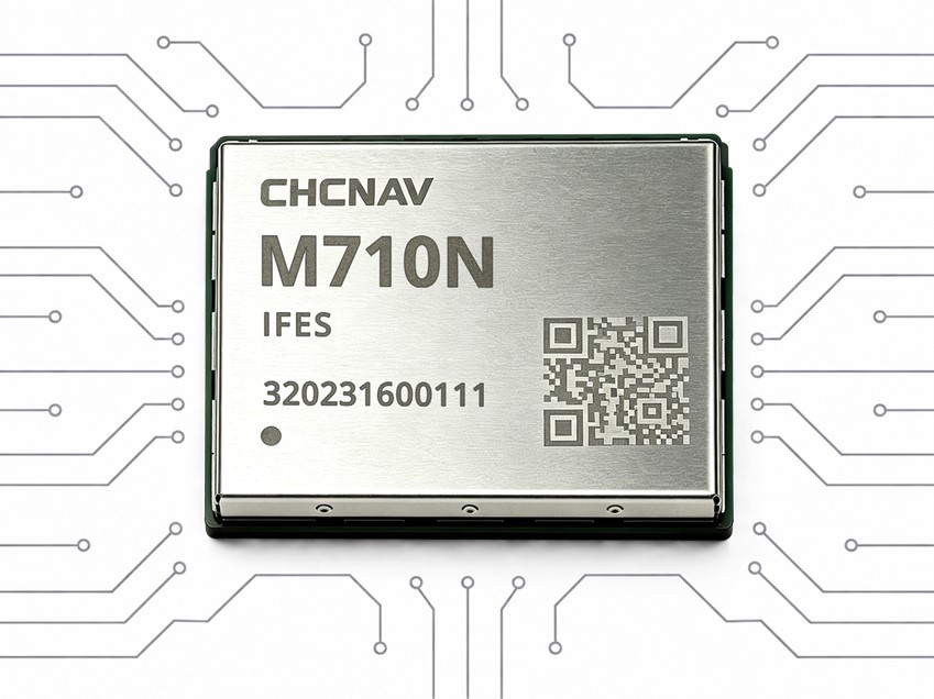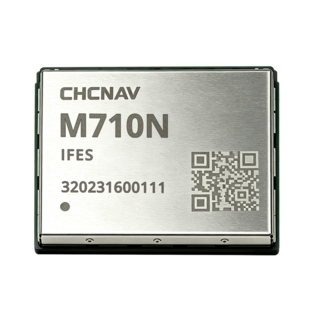

Ultra-Compact High-Precision GNSS Positioning Module
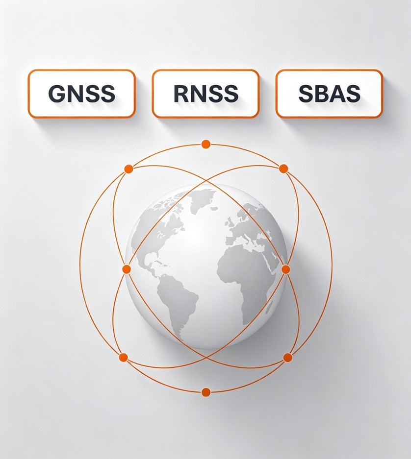
Tracks multi-frequency signals from major GNSS constellations for robust positioning.
Combines correction services and receiver algorithms for resilient high-accuracy positioning.
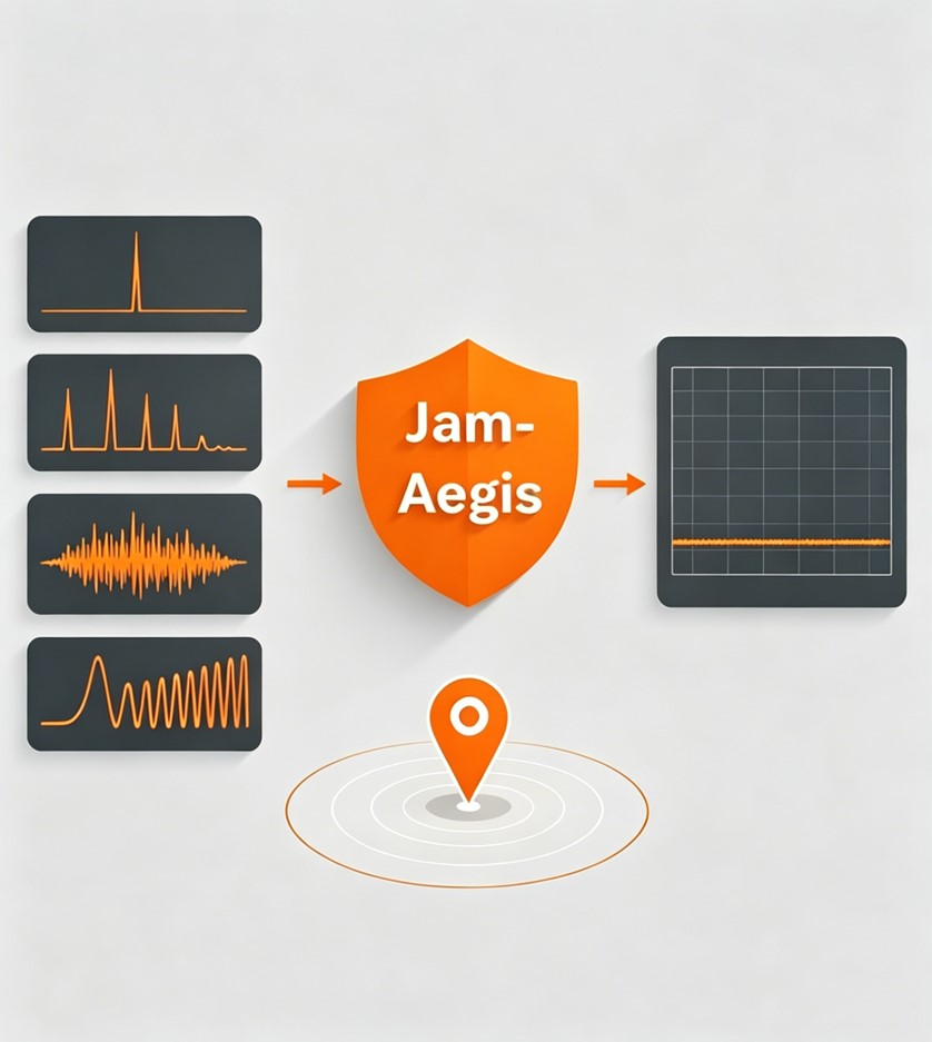
Detects, evaluates and suppresses multiple types of GNSS interference.
Enables high-precision GNSS integration in space-constrained OEM systems.
Tracks multi-frequency signals from BDS, GPS, GLONASS, Galileo, QZSS, NavIC and SBAS to maximize satellite availability. Broad constellation and frequency support improves positioning robustness and helps maintain reliable performance across varied environments and applications.
C² Fusion combines CHCNAV correction services with receiver-side positioning algorithms to optimize high-accuracy GNSS performance. It helps maintain positioning stability under signal obstruction, electromagnetic interference and active ionospheric conditions.
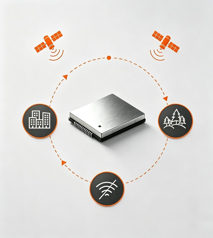
An adaptive RTK positioning algorithm continuously evaluates the operating environment and selects the most suitable positioning strategy. It helps maintain stable, high-accuracy positioning in urban canyons, wooded areas and other locations affected by signal obstruction, multipath or degraded GNSS conditions.
JamAegis detects, evaluates and suppresses multiple types of GNSS interference, including single-tone, multi-tone, narrowband and swept-frequency signals. Combined with real-time spectrum monitoring, it helps maintain stable high-precision positioning in challenging electromagnetic environments.
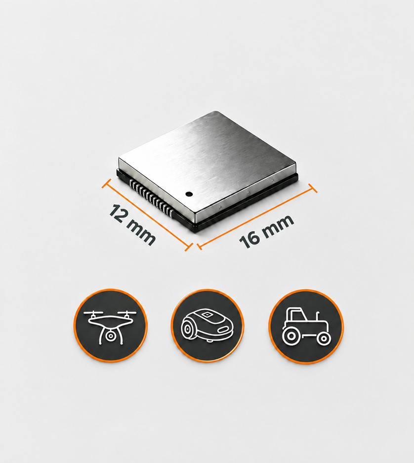
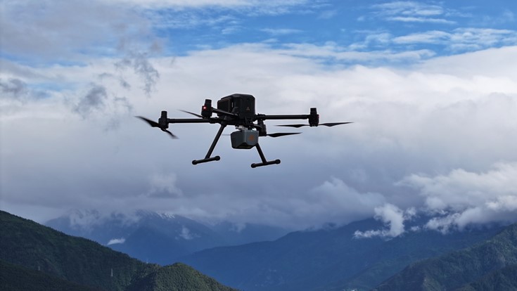
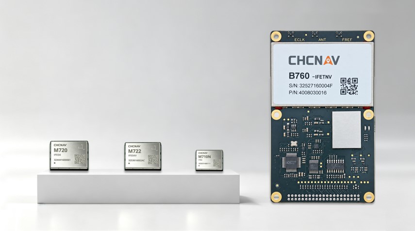
With a 12 × 16 mm footprint, the M710N integrates high-precision GNSS into compact, space-constrained OEM systems. Its small form factor gives manufacturers greater design flexibility for robotic lawnmowers, UAVs, agricultural equipment and other embedded positioning platforms.
Robotic Lawn Mowers
Precision Agriculture
UAVs
Compact OEM Systems
Ultra-Compact High-Precision GNSS Positioning Module
SEEKING FOR PERFECT SOLUTION TO FIT YOUR NEEDS?
Contact CHC Navigation to create a customized precision solution tailored to meet the specific needs of your business.
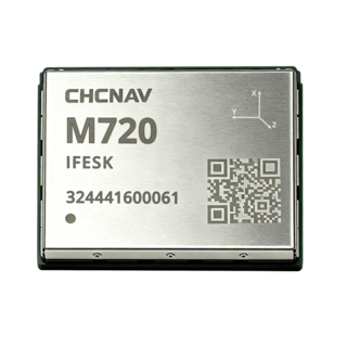
CHCNAV M720
High-Precision GNSS Positioning Module
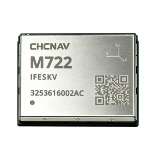
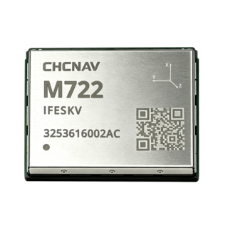
CHCNAV M722
High-Precision GNSS Positioning and Heading Module
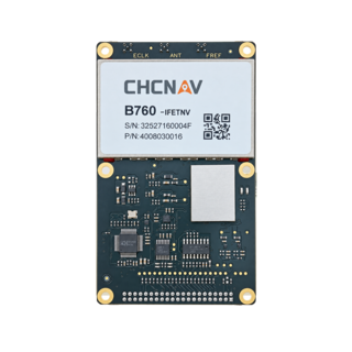
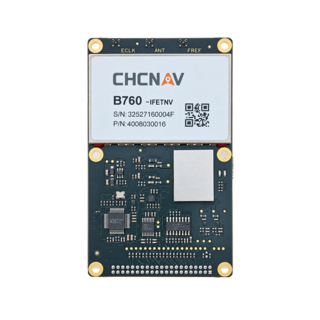
CHCNAV B760
High-Precision GNSS Positioning Board
More