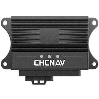
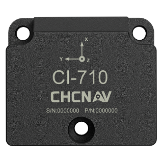
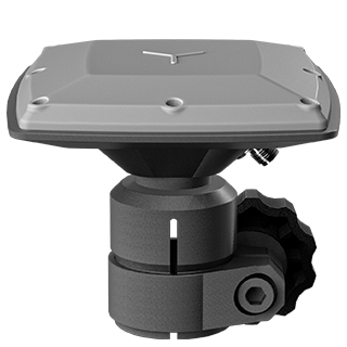
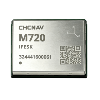
CHC Navigation (CHCNAV) will exhibit at INTERGEO 2026, taking place from September 15 to 17, at Messe München in Munich, Germany. Visitors are invited to meet the CHCNAV team at Booth C6.D149 and discover its latest technologies for surveying, mapping, construction, infrastructure monitoring, and autonomous navigation applications.
INTERGEO is the world’s leading trade fair and conference for geodesy, geoinformation, and land management. The 2026 edition will bring the international geospatial community together, with more than 530 exhibitors and over 18,500 visitors from 119 countries expected. The exhibition and conference will address major industry developments, including geodata, artificial intelligence, digital twins, BIM, reality capture, smart cities, and sustainable urban development.
At INTERGEO 2026, CHCNAV will demonstrate how its expanding ecosystem connects positioning, field data capture, cloud collaboration, intelligent processing, and professional deliverables. Through live demonstrations and discussions with CHCNAV specialists, visitors can explore practical ways to improve field productivity, automate data processing, and maintain consistent information throughout the project lifecycle.
• Capture: Explore integrated geospatial technologies for collecting accurate spatial data across land, air, buildings, infrastructure, and waterways. Our portfolio includes GNSS, LiDAR, SLAM, UAV, photogrammetry, mobile mapping, and hydrographic systems.
• Connect: Discover positioning services and cloud platforms that support reliable GNSS RTK corrections, seamless field-to-office data transfer, remote collaboration, and continuous access to project information.
• Process and Analyze: See how CHCNAV software transforms imagery, point clouds, GNSS observations, and hydrographic datasets into structured geospatial information.
• Deliver: Experience streamlined workflows for producing maps, terrain models, 3D models, measurements, reports, and other action-ready deliverables for surveying, engineering, construction, and infrastructure projects.
• Operate and Monitor: Learn how CHCNAV machine control solutions guide construction equipment against digital designs, while automated monitoring systems support the continuous assessment of structures, terrain, and critical infrastructure.
Visit CHC Navigation at INTERGEO 2026 to experience an integrated geospatial workflow extending from field data capture and positioning to processing, analysis, and project-ready deliverables. Meet our experts, attend live demonstrations, and discover how CHCNAV technologies can help your organization work more efficiently across surveying, mapping, construction, monitoring, and marine operations.
CHC Navigation (CHCNAV) develops advanced mapping, navigation, positioning, and spatial intelligence solutions that improve productivity and operational efficiency. Serving industries including geospatial, construction, agriculture, marine, and autonomy, CHC Navigation delivers integrated technologies spanning field hardware, positioning services, software, and cloud platforms. With operations in more than 140 countries and a team of over 2,200 professionals, CHC Navigation supports customers and partners worldwide with technologies designed for field performance and long-term value.
Bring us your toughest project challenge — we'll bring the solution. Book a slot at Booth C6.D149 during Intergeo 2026 and leave with a plan that works.