Common Searches
Your Recent Searches
Quick Links
- P5
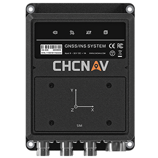
- CGI810
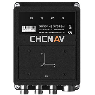
- CGI610
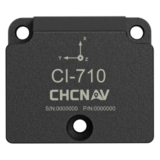
- CI710
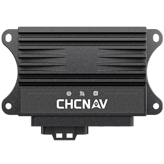
- CGI230
Search Term
Information Sources
- All Type
-
Products -
News -
Event
PRODUCTS
NEWS
EVENT
Select a Region or Language
Region
Global

.png)
.png)
.png)
.png)
.png)

.png)