Die GNSS-Technologie (Global Navigation Satellite System) hat die Positionierung und Navigation revolutioniert und manuelle Berechnungen in sofort verfügbare Daten verwandelt. Mit der steigenden Nachfrage nach höherer Genauigkeit in Branchen wie Geografische Informationssysteme (GIS), Bauwesen und Landwirtschaft wurden verschiedene Korrekturmethoden entwickelt, um die GNSS-Genauigkeit zu verbessern. In diesem Artikel werden die wichtigsten Korrekturverfahren, ihre Merkmale und Anwendungen vorgestellt, damit Sie eine fundierte Entscheidung für Ihre spezifischen Anforderungen treffen können.
Die Entwicklung der GNSS-RTK-Technologie
Die Entwicklung der GNSS-RTK-Technologie (Real-Time Kinematic) begann in den späten 1980er und frühen 1990er Jahren mit der Erforschung der Verwendung von Trägerphasenmessungen für hochpräzise Positionierung. Der erste wichtige Meilenstein war die Entwicklung von Zweifrequenz-Empfängern, die eine genauere Fehlerkorrektur durch Abschwächung der ionosphärischen Verzögerungen ermöglichten. Mitte der 1990er Jahre gelang mit dem Aufkommen kommerzieller RTK-Systeme der Durchbruch, die eine Genauigkeit im Zentimeterbereich boten und eine breite Anwendung ermöglichten.
In den 2000er Jahren haben Verbesserungen in der Kommunikationstechnologie, wie die Integration von Mobilfunknetzen und internetbasierten Korrekturen, die Zuverlässigkeit und Nutzbarkeit von RTK-Systemen erheblich verbessert. Mit der Einrichtung von CORS-Netzwerken (Continuously Operating Reference Stations) wurde eine robuste Infrastruktur für Echtzeitkorrekturen geschaffen, die die Reichweite und Genauigkeit der RTK-Technologie weiter erhöhte.
In den letzten Jahren haben die Entwicklungen bei den GNSS-Konstellationen, einschließlich der Hinzufügung neuer Satelliten von Systemen wie Galileo und BeiDou, die Verfügbarkeit und Redundanz von Satellitensignalen erhöht und damit die RTK-Genauigkeit und -Zuverlässigkeit verbessert. Die meisten neueren RTK-Systeme verfügen jetzt über Mehrfrequenz- und Multikonstellationsfähigkeiten, die sie widerstandsfähiger gegen Signalstörungen und atmosphärische Bedingungen machen.
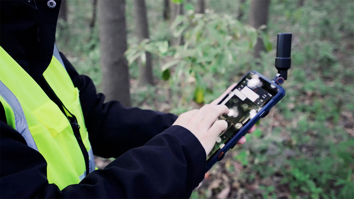
CHCNAV LT800 Android-Tablet-Serie verfügbar mit autonomer und GNSS-RTK-Positionierung.
Wie unterscheidet sich RTK von Standard-GNSS-Positionierungstechniken?
Die kinematische Echtzeit-Positionierung (RTK) unterscheidet sich von den Standard-GNSS-Positionierungstechniken in erster Linie durch die Genauigkeit und die Methode, mit der diese Genauigkeit erreicht wird.Die Standard-GNSS-Positionierung bietet in der Regel eine Genauigkeit im Meterbereich, die für die allgemeine Navigation und viele Verbraucheranwendungen ausreicht. Sie stützt sich auf Code-Phasen-Messungen.
Im Gegensatz dazu erreicht die RTK-Positionierung eine Genauigkeit im Zentimeterbereich, indem sie Trägerphasenmessungen verwendet, die viel genauer sind. Der Hauptunterschied besteht in der Verwendung einer Basisstation und eines Rovers. Die Basisstation befindet sich an einem bekannten festen Standort, empfängt kontinuierlich GNSS-Signale und berechnet die durch atmosphärische Bedingungen, Satellitenbahnen und Uhrendiskrepanzen verursachten Fehler. Diese Fehlerkorrekturen werden in Echtzeit an den Rover, den mobilen GNSS-Empfänger, übertragen, der die Korrekturdaten verwendet, um seine eigenen GNSS-Messungen zu korrigieren und so die Fehler effektiv auszugleichen.
RTK verwendet auch Zweifrequenz- oder Mehrfrequenz-Empfänger, die ionosphärische Verzögerungen wirksamer abmildern können als die bei Standard-GNSS üblichen Einfrequenz-Empfänger. Diese Zweifrequenzfähigkeit in Verbindung mit der Echtzeit-Fehlerkorrektur durch die Basisstation ermöglicht RTK eine höhere Genauigkeit.
Erforschung von GNSS-RTK-Methoden: Von einer einzelnen Basis zu Netzwerklösungen
Schauen wir uns die verschiedenen GNSS-RTK-Methoden und ihre einzigartigen Merkmale, Anwendungen und Vorteile genauer an. Das Verständnis dieser Methoden wird Ihnen dabei helfen, die beste Lösung für Ihre spezifischen Geodatenanforderungen zu finden.
Einzelbasis-RTK (Echtzeit-Kinematik)
Single Base Station GNSS RTK ist eine weit verbreitete Korrekturmethode, bei der eine Basisstation vor Ort verwendet wird, um Echtzeitkorrekturen zu liefern. Basisstationen wie die CHCNAV iBase sind kompakt und lassen sich leicht an verschiedenen Orten einsetzen. Die Portabilität ist besonders für Vermessungsingenieure von Vorteil, die häufig zwischen verschiedenen Einsatzorten wechseln müssen, um eine hochpräzise Positionierung zu gewährleisten, wo immer sie arbeiten.
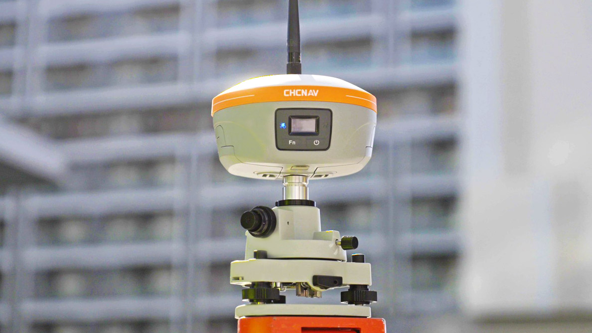
CHCNAV iBase, integrierte GNSS-Basisstation
Für Benutzer mit festen Einsatzgebieten können Hochleistungsempfänger und -antennen wie der P5U-Empfänger und die C220GR2-Antenne von CHCNAV eine verbesserte Genauigkeit, Stabilität und Abdeckung bieten.
Anwendungsszenarien
- Positionierung von Baustellen
- Präzise Landvermessung und Kartierung
- Präzisionslandwirtschaft (für kleinere Felder)
Vorteile
- Genauigkeit im Zentimeter- bis Millimeterbereich
- Flexibler Einsatz je nach Bedarf
- Einmalige Investition
- Geeignet für nahezu jeden Bereich
Nachteile
- Erfordert technisches Fachwissen.
- Begrenzt durch die Länge der Basislinie
- Benötigt einen bekannten Referenzpunkt
GNSS-Netzwerk-RTK
Netzwerk-RTK erweitert das herkömmliche RTK durch den Einsatz mehrerer permanenter Basisstationen zur Abdeckung großer Gebiete. Die Basisstationen laden kontinuierlich GNSS-Korrekturdaten auf einen zentralen Server hoch, der dann den Nutzern präzise Korrekturinformationen auf der Grundlage ihres Echtzeit-Standorts liefert. Dieser vernetzte Ansatz bietet eine überragende Zugänglichkeit und Zuverlässigkeit und ist damit ideal für Anwender wie Landwirte, die selbstlenkende Traktoren einsetzen, Baufachleute und Vermessungsingenieure, die möglicherweise nicht über umfassende GNSS-Kenntnisse verfügen.
Die flächendeckende Abdeckung stellt sicher, dass die Benutzer eine nahtlose Verbindung über große Entfernungen aufrechterhalten können, ohne dass sie die Verbindung zu neuen Basisstationen zurücksetzen und neu aufbauen müssen. Die Einschränkungen von RTK mit nur einer Basisstation, bei denen die Genauigkeit mit zunehmender Entfernung von der Basisstation abnimmt, entfallen.
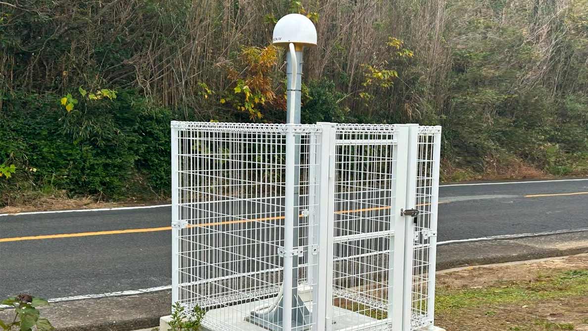
Eine Referenzstation mit CHCNAV C220GR2-Antenne (Bildnachweis RG-Solution)
Anwendungsszenarien
- Präzisionslandwirtschaft in Großbetrieben
- Autonome Fahrzeuge in städtischen Gebieten
- Groß angelegte Bauprojekte
Vorteile
- Hohe Zugänglichkeit
- Flächendeckende Abdeckung
- Gleichbleibende Genauigkeit über große Regionen
Nachteile
- Leistung wird durch die Dichte der Basisstationen beeinflusst
- Erfordert eine gute Mobilfunknetzabdeckung
- Laufende Abonnementkosten
PPP (Präzise Punktortung) und PPP-RTK
Precise Point Positioning (PPP) ist eine hochpräzise Korrekturtechnik, die mit Hilfe von Satelliten und einem einzigen Empfänger eine genaue Positionsbestimmung ermöglicht. Es stützt sich auf ein globales Netz von Basisstationen, das lokale Korrekturen berechnet, die über Satelliten übertragen werden, um große Gebiete ohne Mobilfunknetze abzudecken. Kostenlose PPP-Dienste wie HAS von Galileo und B2b PPP von BeiDou bieten eine Genauigkeit im Dezimeterbereich, während kommerzielle Dienste eine noch höhere Genauigkeit bieten, die oft im Subdezimeterbereich liegt.
PPP-RTK kombiniert PPP und Real-Time Kinematic (RTK)-Techniken, um eine Genauigkeit im Zentimeterbereich zu erreichen. PPP-RTK-Korrekturen sind über L-Band-Satellitenübertragung unter Verwendung von GNSS-Signalen und zusätzlichen Korrekturen von geostationären Satelliten verfügbar, wofür kompatible GNSS-Empfänger und ein Abonnement erforderlich sind. Darüber hinaus können PPP-RTK-Korrekturen über Mobilfunknetze übertragen werden, was die Verfügbarkeit insbesondere in Gebieten mit starker Mobilfunkabdeckung erhöht.
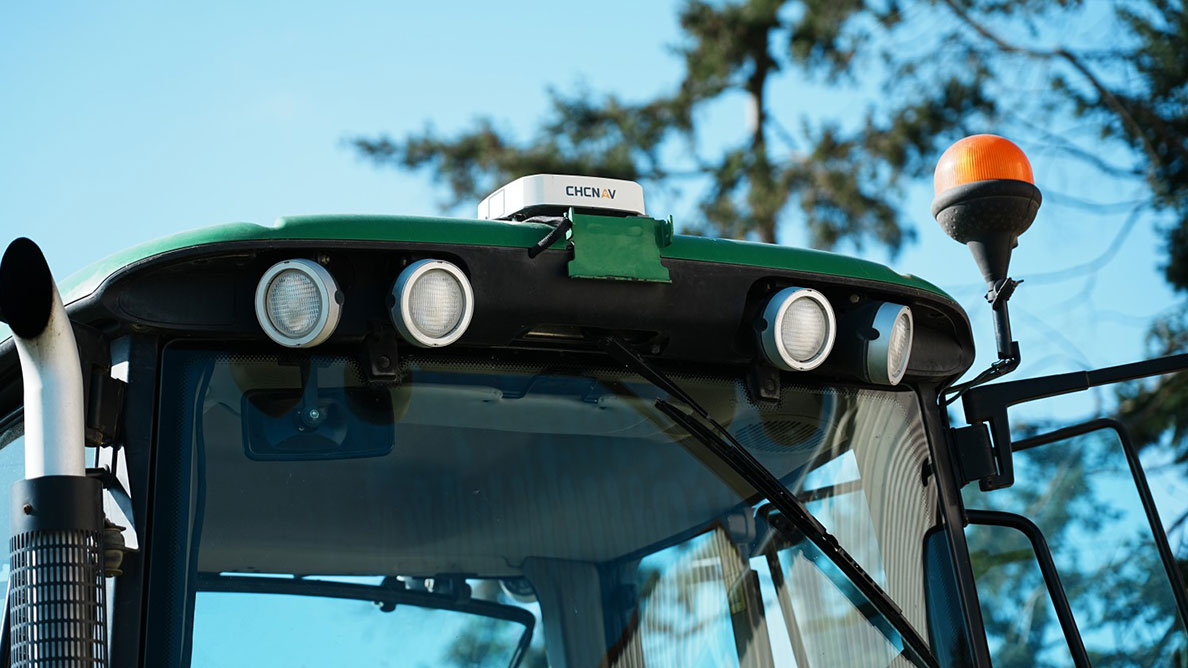
Ein John Deere Traktor mit CHCNAV NX510SE Autolenkungssystem
Anwendungsszenarien
- Marine-Navigation
- Vermessung abgelegener Gebiete
- Präzisionslandwirtschaft in Gebieten mit schlechter Mobilfunkabdeckung
Vorteile
- Netzabdeckung in abgelegenen Gebieten und auf den Ozeanen
- Anpassungsfähig an unterschiedliche Netzbedingungen
- Globale Verfügbarkeit
Nachteile
- Teure Abonnementgebühren für hochpräzise Dienste
- Die Genauigkeit im Dezimeterbereich ist für einige Anwendungen möglicherweise nicht ausreichend.
- Längere Konvergenzzeit im Vergleich zu RTK
PPK (Post-Processing Kinematic)
Post-Processing Kinematic (PPK) ist eine Nicht-Echtzeit-Korrekturmethode, die zur Verbesserung der GNSS-Datengenauigkeit eingesetzt wird. Während des Feldeinsatzes zeichnet der Rover GNSS-Signaldaten auf, während eine Basisstation gleichzeitig ihre eigenen Daten aufzeichnet. Nach Abschluss der Feldarbeit werden die aufgezeichneten Daten mit einer Nachverarbeitungssoftware wie CGO von CHCNAV korrigiert.
PPK ist besonders effektiv für Anwendungen wie die Luftbildvermessung mit Drohnen. Sie bietet zuverlässige Korrekturen in schwierigem Gelände, z. B. in Gebirgsregionen und Gebieten über Wasser, wo eine kontinuierliche Datenübertragung von RTK-Korrekturen schwierig sein kann.

CHCNAV BB4 Drohne und AA15 luftgestütztes LiDAR
Anwendungsszenarien
- Drohnengestützte Vermessung und Kartierung aus der Luft
- Kartierung in Gebieten mit schlechter Funk- oder Mobilfunkverbindung
- Hochpräzise Vermessung in schwierigen Umgebungen
Vorteile
- Hohe Genauigkeit, manchmal mehr als 1 cm
- Ermöglicht längere Basislinien
- Zuverlässig in komplexem Terrain
Nachteile
- Erfordert spezielle Kenntnisse
- Keine Echtzeit-Korrekturen
- Erfordert Nachbearbeitungszeit und Software
Auswahl der optimalen GNSS-Korrekturmethode für Ihre Bedürfnisse
Jede GNSS-Korrekturmethode hat ihre Stärken und Grenzen. Welche Methode am besten geeignet ist, hängt von Ihrer spezifischen Anwendung, Ihrem technischen Know-how und Ihrer Betriebsumgebung ab. Real-Time Kinematic (RTK) bietet Echtzeitkorrekturen, die sich ideal für Anwendungen eignen, bei denen es auf sofortige Genauigkeit ankommt, z. B. im Bau- und Vermessungswesen. Im Gegensatz dazu bietet Post-Processing Kinematic (PPK) eine hohe Genauigkeit in schwierigem Gelände, wo die Aufrechterhaltung einer kontinuierlichen Datenverbindung schwierig ist, und eignet sich daher für Luftbildaufnahmen. Precise Point Positioning (PPP und PPP-RTK) bietet eine weiträumige Abdeckung ohne lokale Basisstation, was für globale oder abgelegene Einsätze von Vorteil ist.
Es gibt keine Einheitslösung für alle. Stattdessen gibt es verschiedene Optionen für unterschiedliche Anforderungen und Szenarien. Die Kenntnis der einzigartigen Vorteile und Einschränkungen jeder Methode hilft Ihnen bei der Auswahl der am besten geeigneten GNSS-Korrekturtechnik für Ihr Projekt.
CHCNAV ist bereit, Sie mit der neuesten GNSS-Technologie zu unterstützen und Ihnen zu helfen, die Komplexität der präzisen Positionierung zu bewältigen. Ganz gleich, ob Sie im Vermessungswesen, in der Landwirtschaft, im Bauwesen oder in einem anderen Bereich tätig sind, in dem hochpräzises GNSS benötigt wird, CHCNAV hat die Lösungen, die Ihre Anforderungen erfüllen und Ihren Erfolg fördern.
____
Über CHC Navigation
CHC Navigation (CHCNAV) entwickelt fortschrittliche Kartierungs-, Navigations- und Positionierungslösungen, die die Produktivität und Effizienz steigern. CHCNAV liefert innovative Technologien für Branchen wie Geodäsie, Landwirtschaft, Bauwesen und Autonomie, die Fachleute unterstützen und den Fortschritt in der Industrie vorantreiben. Mit einer weltweiten Präsenz in über 130 Ländern und einem Team von mehr als 1.900 Fachleuten ist CHC Navigation als führend in der Geospatial-Industrie und darüber hinaus anerkannt. Weitere Informationen über CHC Navigation [Huace:300627.SZ] finden Sie unter: www.chcnav.com
